Click to see full image size
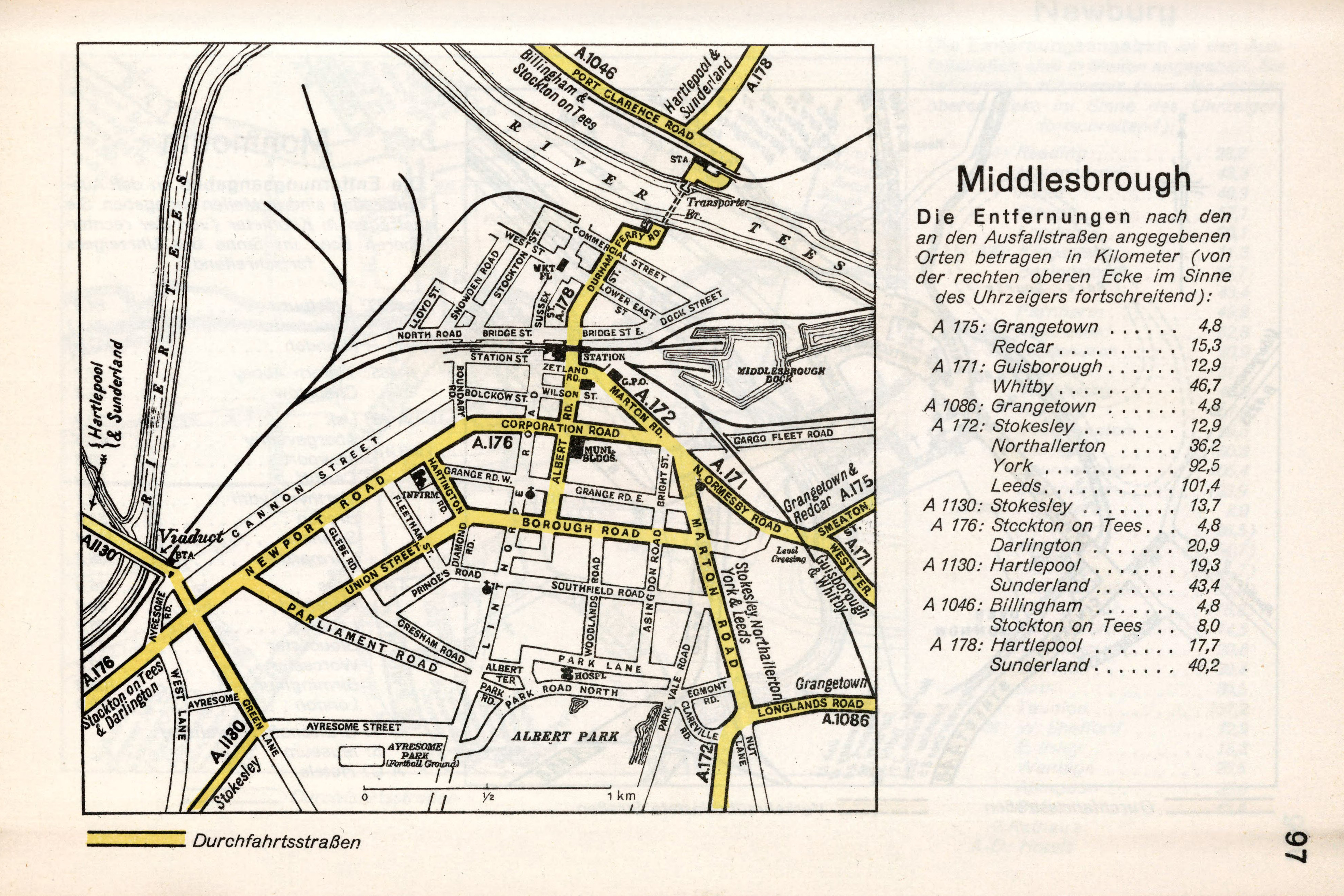
German WW2 Map of Middlesbrough (1941)
During the Second World War, detailed maps of British cities were created by the Nazis for planning potential invasions and air raids. This map of Middlesbrough, England, produced around 1941, provides a detailed view of the town's layout during that period. It highlights key infrastructure such as roads, railways, and industrial areas, which were of strategic importance during the war. Towards the bottom of the map, you can see Ayresome Park, the home stadium of Middlesbrough FC at the time.